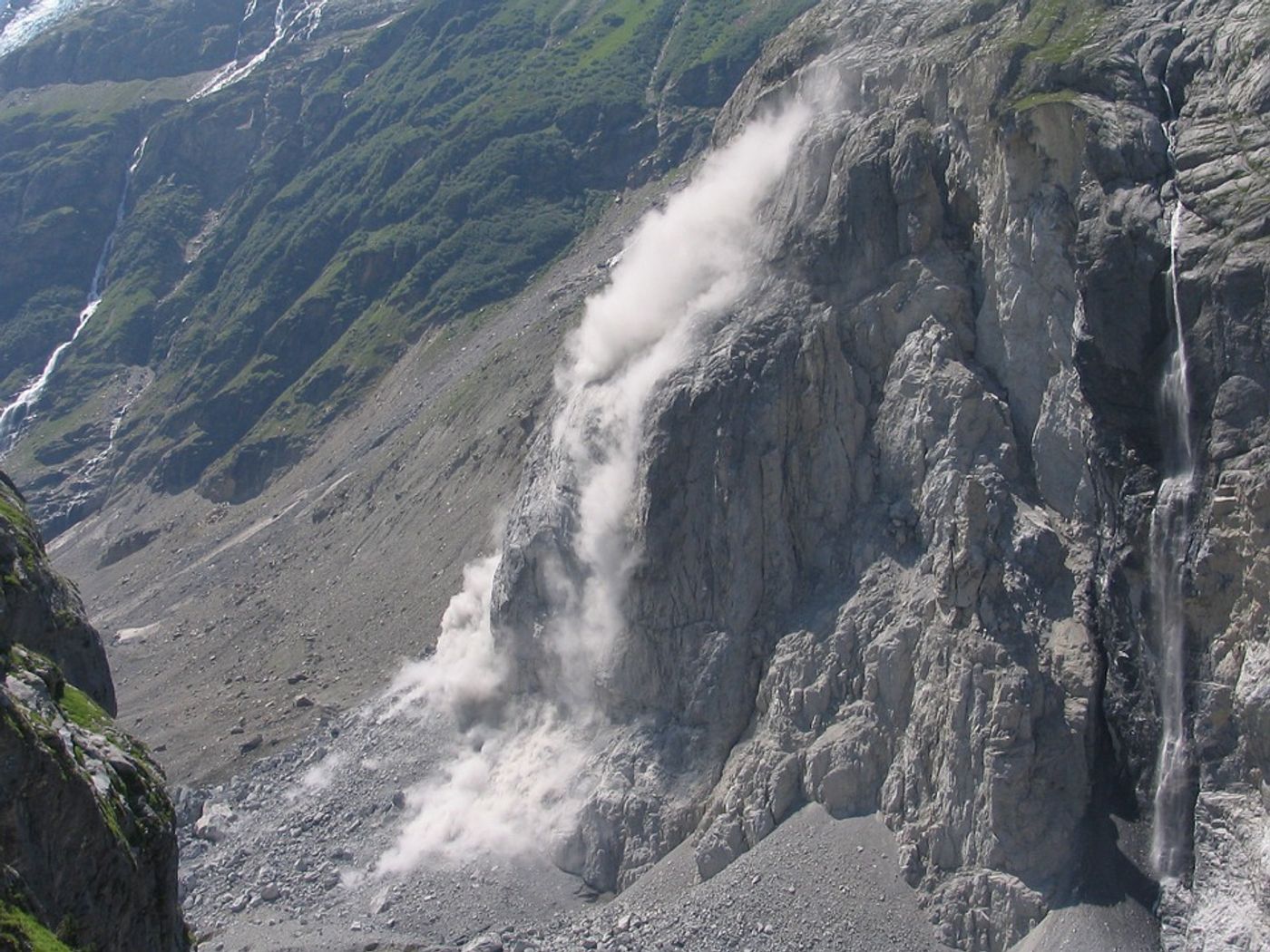
Research published in the Journal of Geophysical Research - Earth Surface from scientists at Duke University details a new comprehensive model of deep-seated landslides. Their model, which looks specifically at the temperatures of the thin layers of clay at the base of landslides to predict triggers, claims to be able to accurately recreate the dynamics of historic and current landslides that occur under various conditions.
"I published a paper more than a decade ago that explained what happened at the Vajont Dam, one of the biggest man-made disasters of all-time," said Manolis Veveakis, assistant professor of civil and environmental engineering at Duke. "But that model was extremely limited and constrained to that specific event. This model is more complete. It can be applied to other landslides, providing stability criteria and guidance on when and how they can be averted."
While most models use measurements of velocity and water levels to explain the forces behind landslides, this research team was interested in measuring clay - and more specifically, the temperature of clay.
"Clay is a very thermally sensitive material and it can create a shear band that is very susceptible to friction," said first author Carolina Segui. "It's the worst material to have in such a critical place [at the base of a landslide] and is a nightmare for civil engineers constructing anything anywhere."
Veveakis had previously developed a model to show how water seeping into the rock above an unstable layer of clay can cause a creeping landslide that ultimately heats up and further destabilizes the clay in a feedback loop, causing a landslide. This new model builds on the previous one to provide real-time assessments
“[Other models] don’t explain the underlying physics. Our model incorporates the properties of soft materials, allowing it to be applied to more landslides with different loading characteristics and provide an operational stability criterion by monitoring its basal temperature," says Veveakis.
The model is currently being used to monitor a slow-moving landslide in the el Forn region of Andorra. They hope to use their model to monitor the evolution of the landslide and suggest methods for mitigating the risk of its escalation.
Sources: Journal of Geophysical Research - Earth Surface, Eureka Alert