A study entitled, "The past and future of global river ice," is the first comprehensive study to quantify temporal shifts in river ice cover on such a large scale. Published recently in the journal Nature, it comes from researchers in the University of North Carolina at Chapel Hill Department of Geological Sciences who found that annual river ice cover is expected to decline by approximately six days for every one degree Celsius increase in global temperatures.
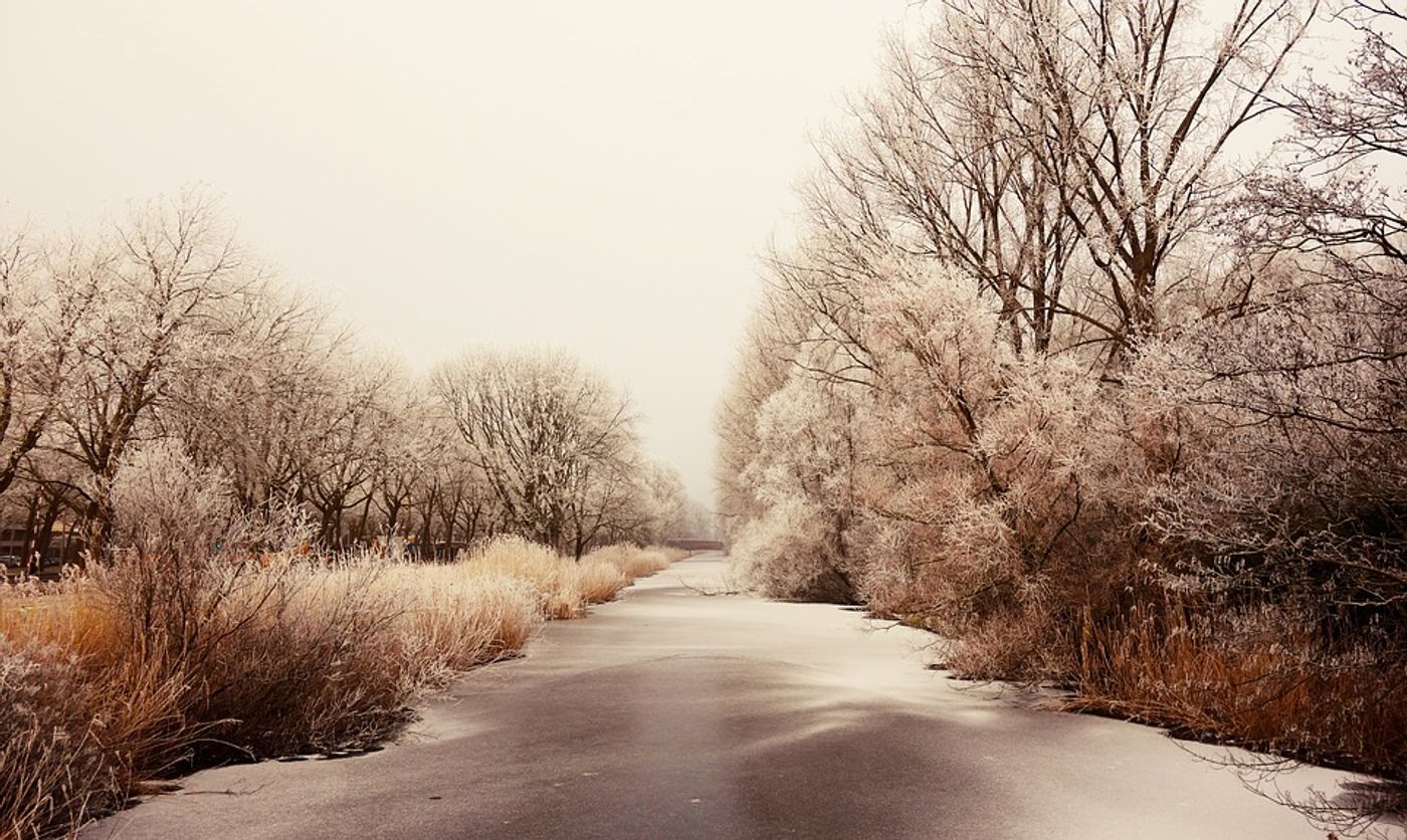
It may surprise you to know that over half of all large rivers on the planet freeze annually. And while those of us who are not close to frozen rivers may be unaware of their importance, for the communities and industries that live near them, the annual freeze is crucial. But ice cover is key not only from an economic and survival perspective for these high-latitude communities; it is also key for all of us because of how it regulates the greenhouse gasses released from rivers into Earth's atmosphere.
To conduct this study, the researchers analyzed changes in river ice cover in satellite imagery for a period of over three decades. Lead author, Xiao Yang, a postdoctoral scholar in the UNC-Chapel Hill geological sciences department, explains:
"We used more than 400,000 satellite images taken over 34 years to measure which rivers seasonally freeze over worldwide, which is about 56% of all large rivers. We detected widespread declines in monthly river ice coverage. And the predicted trend of future ice loss is likely to lead to economic challenges for people and industries along these rivers, and shifting seasonal patterns in greenhouse gas emissions from the ice-affected rivers."
The team used a comparison of river ice cover from 2008-2018 and 1984-1994 (in which they saw a monthly global decline ranging from 0.3-4.3%) to develop and calibrate a model based on temperature and season under climate change predictions that allowed them to project future changes in river ice extent. Using this model, the team projected river ice cover through 2009-2029 and 2080-2100 and found that ice cover will drop monthly in the Northern Hemisphere in a range from 9-15% in the winter months and 12-68% during the spring and fall.
Whereas the past observations showed the largest drops of river ice cover to occur in the Tibetan Plateau, eastern Europe, and Alaska, the model predicts future declines will be most prevalent in the Rocky Mountains, the northeastern United States, eastern Europe, and Tibetan Plateau.
"Ultimately, what this study shows is the power of combining massive amounts of satellite imagery with climate models to help better project how our planet will change," said UNC-Chapel Hill Associate Professor of global hydrology Tamlin Pavelsky. "The observed decline in river ice is likely to continue with predicted global warming,” concludes the study.
Sources: Nature, Science Daily