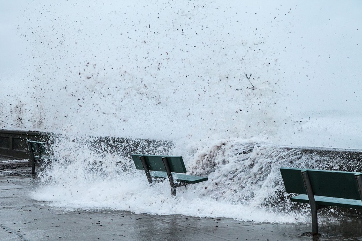
A study published in AGU's Journal of Geophysical Research: Oceans highlights the need for improving our understanding of storm surges. Storm surges refer to the sudden rise in sea level that comes from a strong storm. Storm surges, because of their unpredictable nature, often leave roads and infrastructure flooded and destroyed, and in the worst scenarios, people and animals stranded.
In the case of Category 4 Hurricane Laura, people were warned of a 20-foot storm surge. While Laura didn’t surge to quite that height (reaching only about half as tall), the fear and uncertainty of the moment were made worse by the accompaniment of such inaccurate predictions.
Storm surges will only become worse in the coming decades with the onslaught of tropical storms and sea level rise from climate change. Laura made it clear just how crucial it is to improve our understanding of the spatial distribution of storm surges in order to protect and prepare our communities for the inevitable.
The newly published study aims to address this concern by providing a global analysis of the spatial footprint of storm surges. Utilizing simulated storm surge data and observed data from tide gauges, the researchers applied clustering analysis, percentage of co‐occurrence, and joint probability analysis in order to quantify the spatial footprints. From these analyses, they pinpointed which coastlines are the most vulnerable to storm surges.
The team determined that the spatial footprints of storm surges depend more greatly on storm track direction than the particular intensity of the storm. They also found that both connected and unconnected stretches of coastline can be impacted by the same event.
The authors of the study hope that their work will help authorities better organize flood management and emergency response plans to storms. Furthermore, they say their techniques can be utilized to ameliorate global coastal risk analysis, including risks that cross state and national boundaries.
Sources: Journal of Geophysical Research: Oceans, Eureka Alert