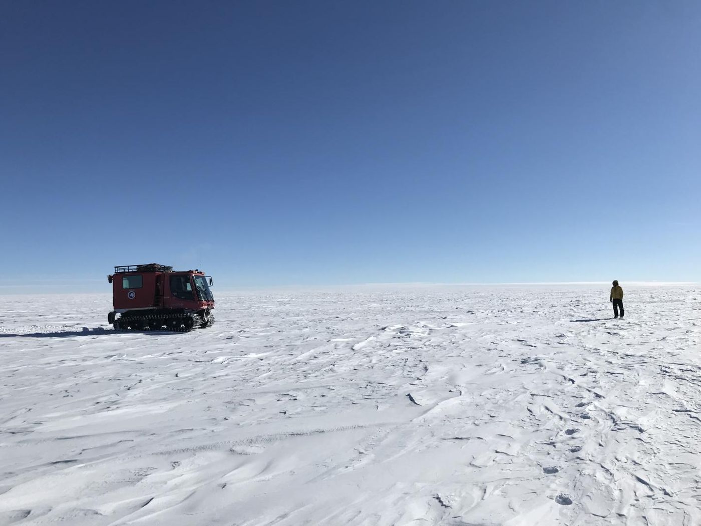
During the winter of 2019, a large and deep lake on the Amery Ice Shelf in East Antarctica was lost in about a week. Between 600 and 750 million cubic meters (21 to 26 billion cubic feet) of water is thought to have drained into the ocean, suggested the researchers who reported the event. The weight of the ice-covered lake is may have caused its bottom to open up. The findings have been reported in Geophysical Research Letters.
"We believe the weight of water accumulated in this deep lake opened a fissure in the ice shelf beneath the lake, a process known as hydrofracture, causing the water to drain away to the ocean below," said lead study author Roland Warner, a glaciologist at the University of Tasmania. Smaller lakes have collapsed in this way during Antarctica's summer when meltwater accumulates on their surfaces. But hydrofractures don't usually push through ice that's as thick as what's found on the Amery shelf, which is about 1400 meters (4,590 feet) thick at the lake's previous location.
When this lake collapsed, it left a depression behind that only held the lake's ice cover, and was about eleven square kilometers (4.25 square miles). The surface fell about 80 meters (260 feet), but the lost water weight made the ice shelf lighter, so the area surrounding the lake rose roughly 36 meters (118 feet).
"Since surface meltwater on ice shelves can cause their collapse which ultimately leads to sea-level rise when grounded ice is no longer held back, it's important to understand the processes that weaken ice shelves," noted study co-author Helen Amanda Fricker, a glaciologist at Scripps Institution of Oceanography.
The study authors added that the potential increased water flow from hydrofractured lakes in Antarctica should be taken into account when making predictions about climate change.
This work used data gathered by an instrument on NASA's ICESat-2 satellite, and surface elevation maps created by the Polar Geospatial Center (PGC) at the University of Minnesota. It suggested that the loss of the lake's water changed 60 square kilometers (23 square miles) of the region's landscape. There are many melt lakes on the Amery ice shelf, but the amount of water that was estimated to be lost is thought to be far greater than the typical annual volume of meltwater.
The researchers noted, however, that they cannot determine whether this drainage has anything to do with warming trends in Antarctica. More data from ICESat-2 will help scientists figure out whether they are connected.
"This abrupt event was apparently the culmination of decades of melt-water accumulation and storage beneath that insulating lid of ice," explained study co-author Jonathan Kingslake, professor at Lamont Doherty Earth Observatory at Columbia University
Experienced research scientist and technical expert with authorships on over 30 peer-reviewed publications, traveler to over 70 countries, published photographer and internationally-exhibited painter, volunteer trained in disaster-response, CPR and DV counseling.