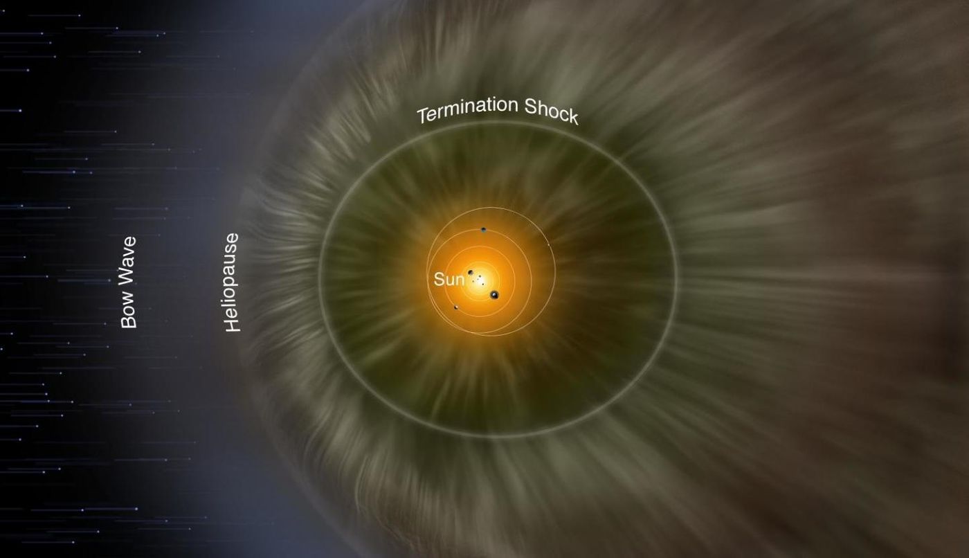
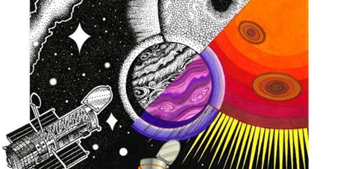
Earth and the planets in the solar system sit within the heliosphere, a giant bubble formed by the charged particles, like protons, electrons, and alpha particles called the Solar Wind that emanate from the Sun. While the Earth itself also has to be protected from the Solar Wind by our planet's magnetic field, all of the planets have to be shielded from cosmic radiation by the heliosphere. Now researchers have learned more about the boundaries of the heliosphere.
NASA's Earth-orbiting Interstellar Boundary Explorer (IBEX) satellite detects particles coming from a boundary zone between the solar system and outer space, which is called the heliosheath. The researchers mapped the heliosheath's edge, which is called the heliopause. The solar wind pushes out toward interstellar space and collides with the opposing interstellar wind in this zone. The work has been reported in The Astrophysical Journal.
"Physics models have theorized this boundary for years," said lead study author Dan Reisenfeld, a scientist at Los Alamos National Laboratory. "But this is the first time we've actually been able to measure it and make a three-dimensional map of it."
In this study, the scientists employed a technique that is analogous to bats' use of sonar. "Just as bats send out sonar pulses in every direction and use the return signal to create a mental map of their surroundings, we used the Sun's solar wind, which goes out in all directions, to create a map of the heliosphere," Reisenfeld explained.
The IBEX satellite takes measurements of the collisions between particles in the solar and interstellar winds, which generate energetic neutral atoms (ENAs). When waves from the solar wind hit the heliosheath, the level of ENAs that is generated depends on the intensity of the wind. A map was created using data collected over ten years.
"The solar wind 'signal' sent out by the Sun varies in strength, forming a unique pattern. IBEX will see that same pattern in the returning ENA signal, two to six years later, depending on ENA energy and the direction IBEX is looking through the heliosphere. This time difference is how we found the distance to the ENA-source region in a particular direction," said Reisenfeld. "In doing this, we are able to see the boundary of the heliosphere in the same way a bat uses sonar to 'see' the walls of a cave."
Experienced research scientist and technical expert with authorships on over 30 peer-reviewed publications, traveler to over 70 countries, published photographer and internationally-exhibited painter, volunteer trained in disaster-response, CPR and DV counseling.