When humans inevitably return to the Moon, they’re going to need water to survive for both short- and long-term missions. Resupplies from Earth could undoubtedly be expensive, which is why mining water deposits on the Moon itself could be integral to these future astronauts.
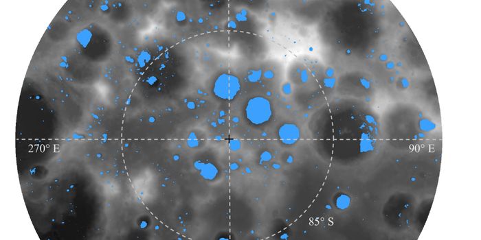
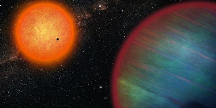
Permanently shadowed regions (PSRs) are areas near the north and south poles of the Moon that never receive direct sunlight and thus are extremely cold (25 K to 70 K; -415°F to -334°F). This is because these regions are completely devoid of any sunlight as a result of the Moon’s axial tilt. At only 1.5 degrees—compared to the Earth’s 23.5 degrees—this tilt means that water-ice, and other volatiles (ammonia, methane, etc.), can still accumulate within these craters since they are so cold and dark.
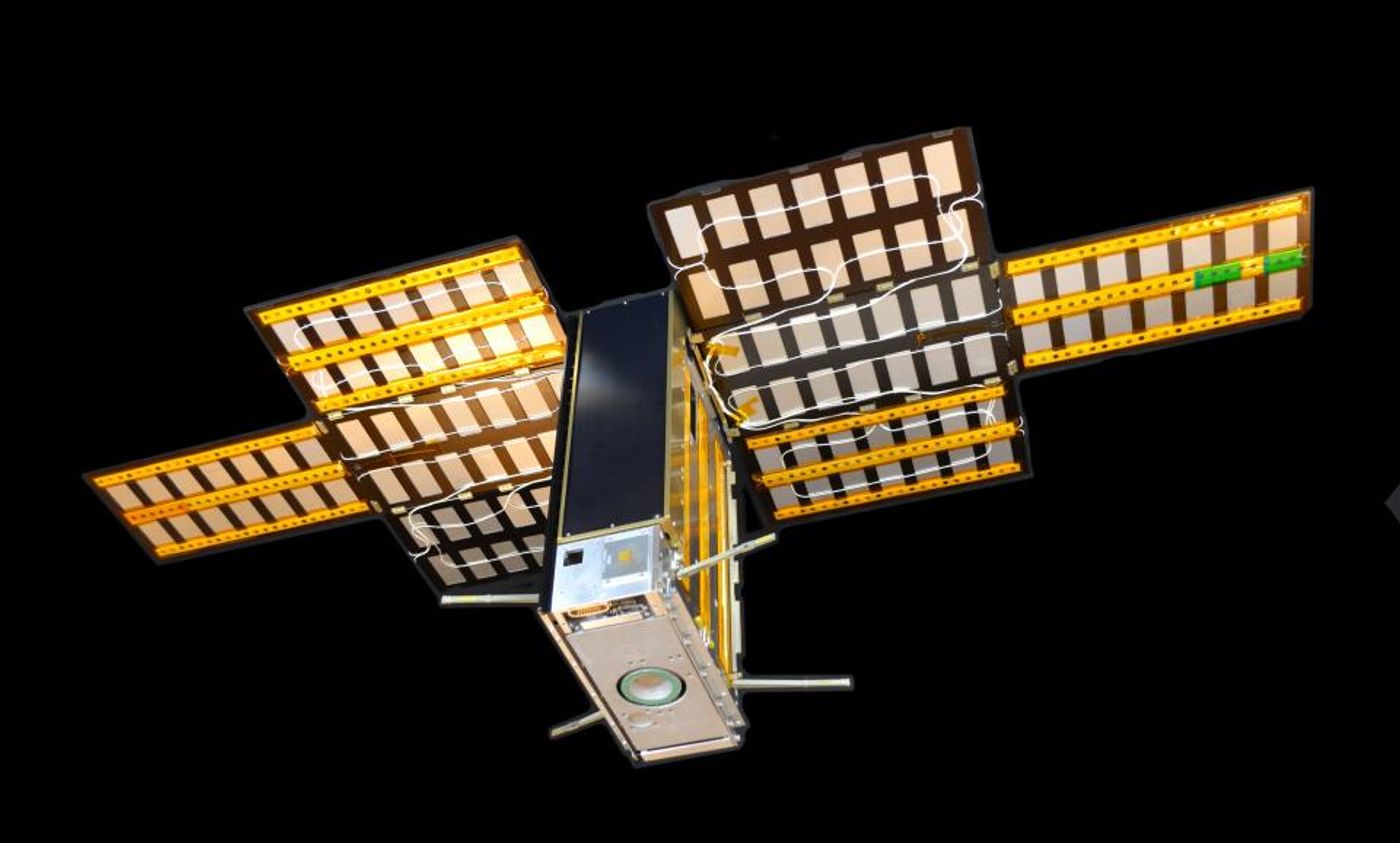
Enter the Lunar Polar Hydrogen Mapper, or LunaH-Map, which is a cereal box-sized CubeSat currently planned to be launched onboard Artemis 1 in early 2022. One of the mission goals of the LunaH-Map is to measure the hydrogen abundance within the PSRs at the Moon’s south pole. Other goals include the development and calibration of a compact neutron spectrometer for small spacecraft in deep space and demonstrating the use of ion propulsion to navigate into a lunar capture orbit.
“I hope that LunaH-Map will be able to provide some meaningful constraints on the abundance of hydrogen and water-ice at the lunar south pole,” said LunaH-Map Principal Investigator, Dr. Craig Hardgrove, who is also an Assistant Professor in the School of Earth and Space Exploration (SESE) at Arizona State University. Hardgrove adds that, “we may find that in some regions of the lunar south pole, there could be ancient ice in regions outside of permanent shadow which would be more accessible for future astronauts and rovers exploring the Moon. Maps of water-ice from LunaH-Map may contribute to our understanding of lunar polar wander and could help inform our understanding of how volatiles have evolved throughout lunar geologic history.”
The LunaH-Map is being built at Arizona State’s School of Earth and Space Exploration (SESE), and the mission plan calls for 60 days of science while maintaining a highly elliptical orbit with the closest point to the Moon being 8-20 kilometers above the south pole. If significant deposits of water-ice and other volatiles are confirmed to exist in PSRs, they could provide valuable resources to the future of human space exploration.
Sources: Lunar Reconnaissance Orbiter Camera, LunaH-Map ASU